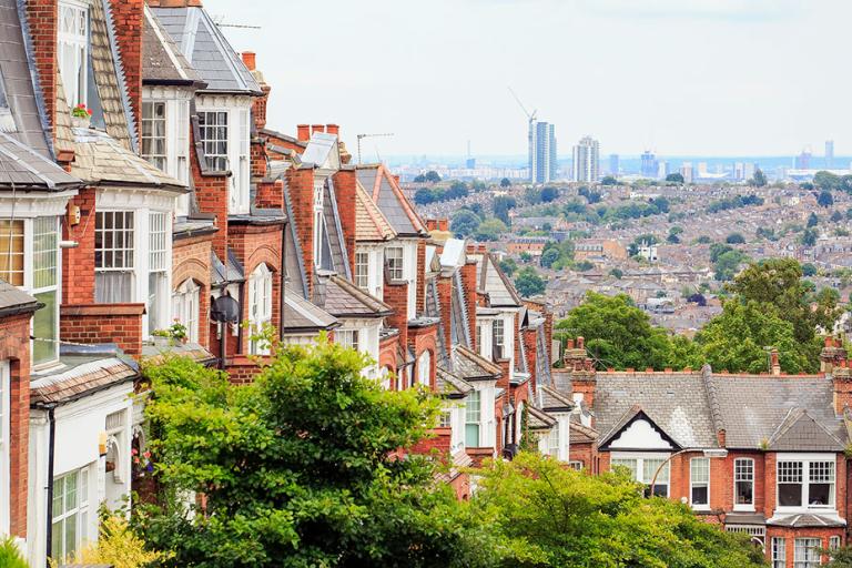
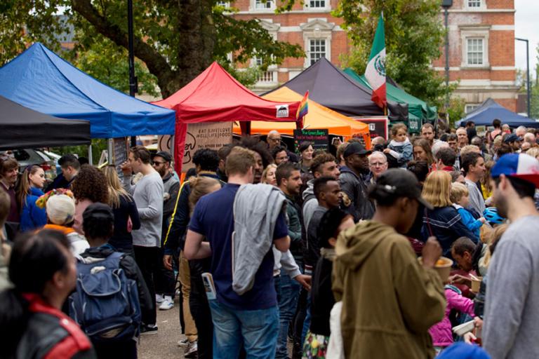
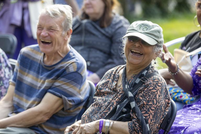
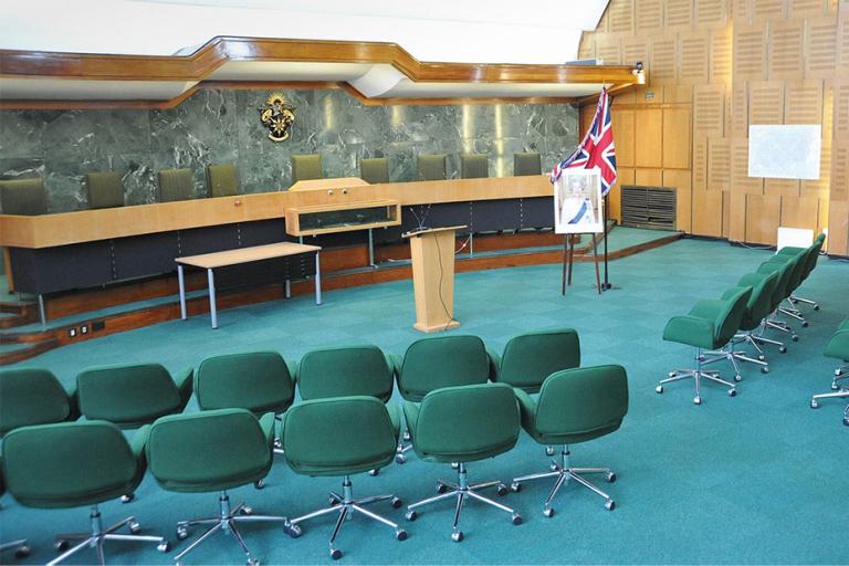
These figures highlight the dynamic and diverse nature of Haringey, as well as some of the challenges and opportunities we face.
Facts and figures

Geography and demographics
Area: Haringey covers an area of approximately 29.6 square kilometres, making it the 23rd largest borough in London.
Population: As of the latest estimates, Haringey has a population of around 293,503, ranking it 18th in terms of population size among London boroughs.
Population density: Haringey has a population density of about 9,916 people per square kilometre, making it the 12th most densely populated borough in London.

Diversity
Ethnic diversity: Haringey is highly diverse, with 38% of residents identifying as Black, Asian, and Minority Ethnic (BAME) and 26% identifying as 'white other'.
Languages: Over 180 languages are spoken within Haringey, reflecting our multicultural population.

Population trends
Growth: The population of Haringey has increased by 3.6% from around 254,900 in 2011 to 264,200 in 2021.
Age distribution: Haringey’s population is aging, with a 24% increase in residents aged 65 and over since 2011. However, there has been an 8% decrease in children under 15.

Governance
Formation: Haringey was created in 1965 by the amalgamation of 3 former boroughs: Hornsey, Tottenham and Wood Green.
Borders: We share our border with 6 other London boroughs: Enfield, Waltham Forest, Hackney, Islington, Camden and Barnet.
